Trail Walking Le Mesnil-Aubert - La Rue Cavée - Le Mesnil Aubert  - Photo

La Rue Cavée - Le Mesnil Aubert

 tracegps
tracegps

User

© OpenStreetMap contributors
Length
Length
10.1 km
Max alt
Max alt
94 m
Uphill gradient
Uphill gradient
119 m
Km-Effort
Km-Effort  
11.7 km
Min alt
Min alt
26 m
Downhill gradient
Downhill gradient
119 m
Boucle
Boucle
Yes
Creation date :
2014-12-10 00:00:00.0
Updated on :
2014-12-10 00:00:00.0

(0 Reviews)

Walking
Walking
2h00
Difficulty : Medium

Scan this QR Code to open this trail in the SityTrail application

FREE GPS app for hiking

Logo SityTrail SityTrail

IGN / Geographical institutes

Download SityTrail from the App Store Download SityTrail from Google Play

Logo SityTrail SityTrail World

The world is yours!

Download SityTrail from the App Store Download SityTrail from Google Play Download SityTrail on Huawei AppGallery

About

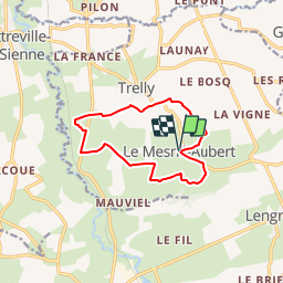
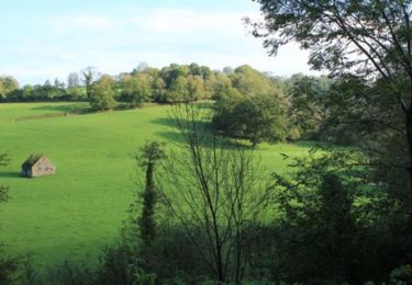
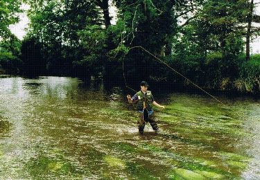
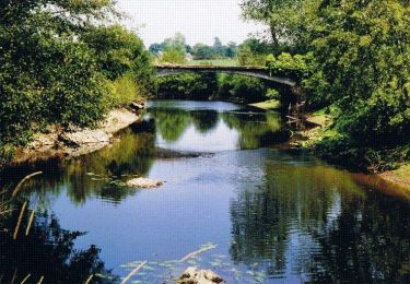
Trail Walking of 10.1 km to be discovered at Normandy, Manche, Le Mesnil-Aubert. This trail is proposed by tracegps.

Description

Départ de la place de la mairie du Mesnil Aubert

Elevation profile

Photos

Positioning

Country:
France
Region :
Normandy
Department/Province :
Manche
Municipality :
Le Mesnil-Aubert
Location:
Unknown
Start:(UTM)
616131 ; 5422702 (30U) N.

Trails nearby

Trail Walking Gavray-sur-Sienne - Gavray - Circuit long - Photo
Walking
lionelnottat

Walking

Very difficult
(2)
Gavray-sur-Sienne, Normandy, Manche, France
16.6 km | 21 km-effort
4h 31min
Yes
Trail Mountain bike Gavray-sur-Sienne - gavray - Photo
Mountain bike
dumbell

Mountain bike

Very easy
Gavray-sur-Sienne, Normandy, Manche, France
24 km | 29 km-effort
2h 31min
Yes
Trail Walking Cérences - Le Moulin de Guelle - Cérences  - Photo
Walking
tracegps

Walking

Medium
Cérences, Normandy, Manche, France
12.6 km | 15.8 km-effort
3h 0min
Yes
Trail Mountain bike Gavray-sur-Sienne - Randonnée autour de Gavray - Photo
Mountain bike
tracegps

Mountain bike

Difficult
Gavray-sur-Sienne, Normandy, Manche, France
31 km | 39 km-effort
2h 45min
No
Trail Mountain bike Cérences - VTT de Cérences à Beauchamps - Photo
Mountain bike
tracegps

Mountain bike

Very difficult
Cérences, Normandy, Manche, France
52 km | 65 km-effort
4h 0min
Yes
Trail Walking Cérences - La Voie Romaine - Cérences  - Photo
Walking
tracegps

Walking

Medium
Cérences, Normandy, Manche, France
6.6 km | 7.7 km-effort
1h 30min
Yes
Trail Walking Cérences - Entre Batterel et Sienne - Cérences  - Photo
Walking
tracegps

Walking

Medium
Cérences, Normandy, Manche, France
11.7 km | 14 km-effort
2h 19min
Yes
Trail Walking Cérences - Les Vallons de Cérences  - Photo
Walking
tracegps

Walking

Medium
Cérences, Normandy, Manche, France
19.3 km | 23 km-effort
4h 15min
Yes
Trail Walking Cérences - Les Bois - Cérences - Photo
Walking
tracegps

Walking

Medium
Cérences, Normandy, Manche, France
7.3 km | 9.4 km-effort
2h 0min
Yes


Close
My subscriptions